
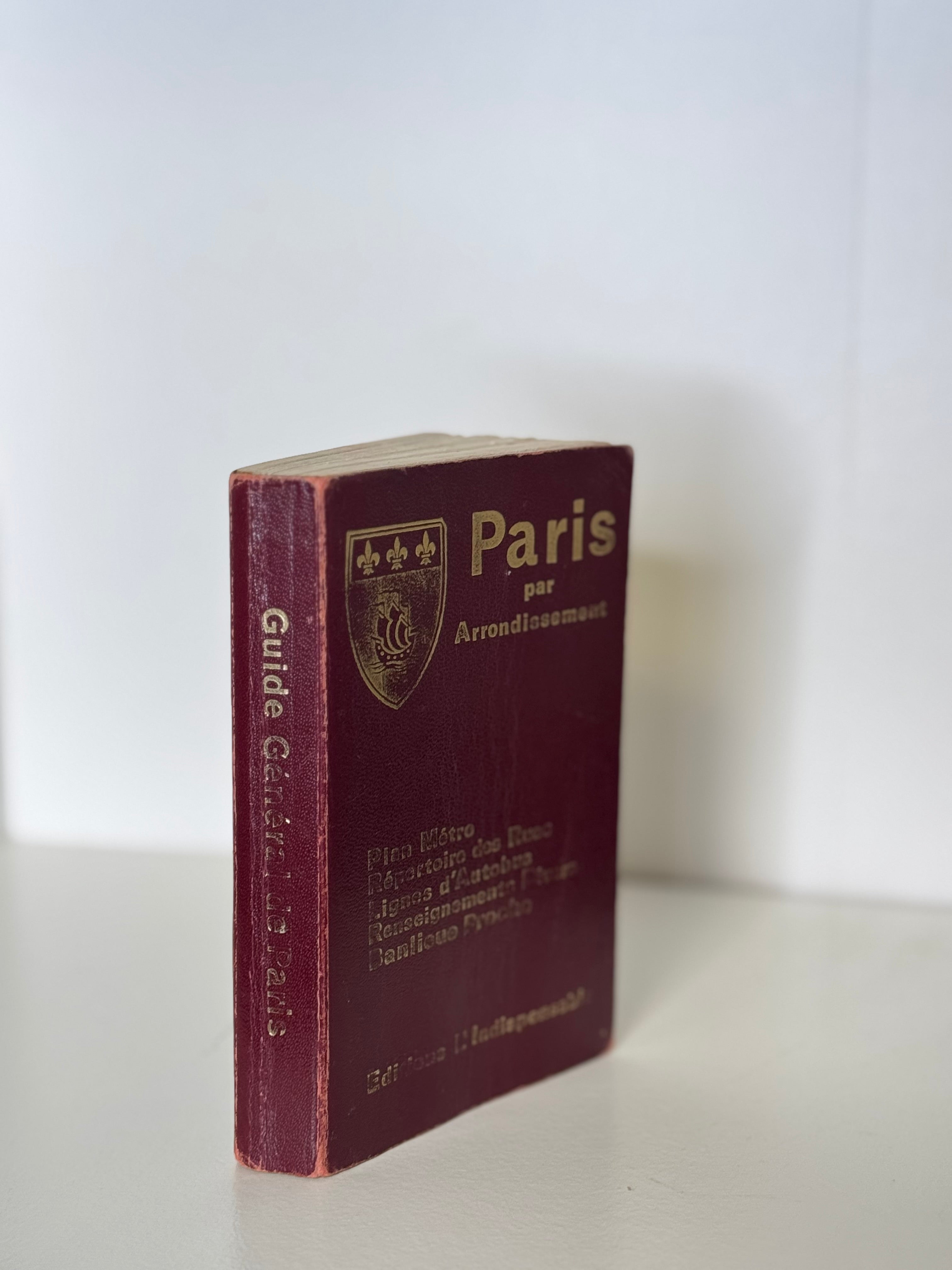


Vintage Paris Atlas
Paris par Arrondissement, Éditions L’Indispensable (1980)
Compact leatherette-bound atlas of Paris featuring detailed color maps by arrondissement, a metro and RER plan, bus routes, and an alphabetical street index. Published by Éditions L’Indispensable, the same company that supplied pocket maps to Parisian taxis and newsstands throughout the 20th century.
This 1980 printing retains its gilt Paris coat of arms on the burgundy cover and gold lettering throughout, with color lithographic maps printed in France by Imprimeries Aubin. Tabs along the page edges mark each arrondissement, and the maps capture the city just before the expansion of the modern RER network—making it both practical and historical.
A timeless object of everyday Parisian life, equally charming on a desk, in a travel collection, or among books on French design and history.
5.5” x 3.5” x 0.75”
Éditions L’Indispensable, Paris — Mod. R.14
Printed December 10, 1980
Choose options