

Vintage Paris Guide Book
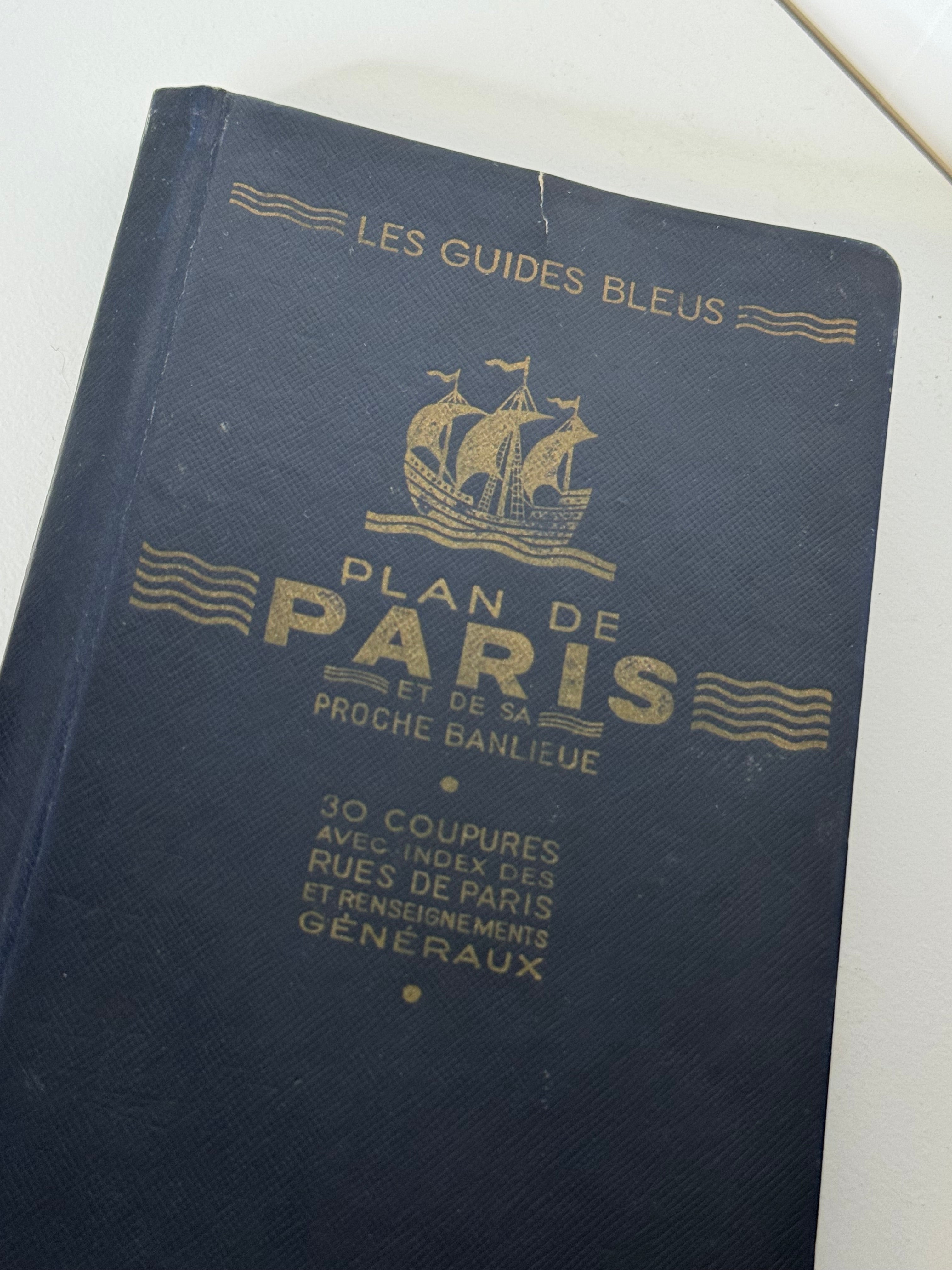
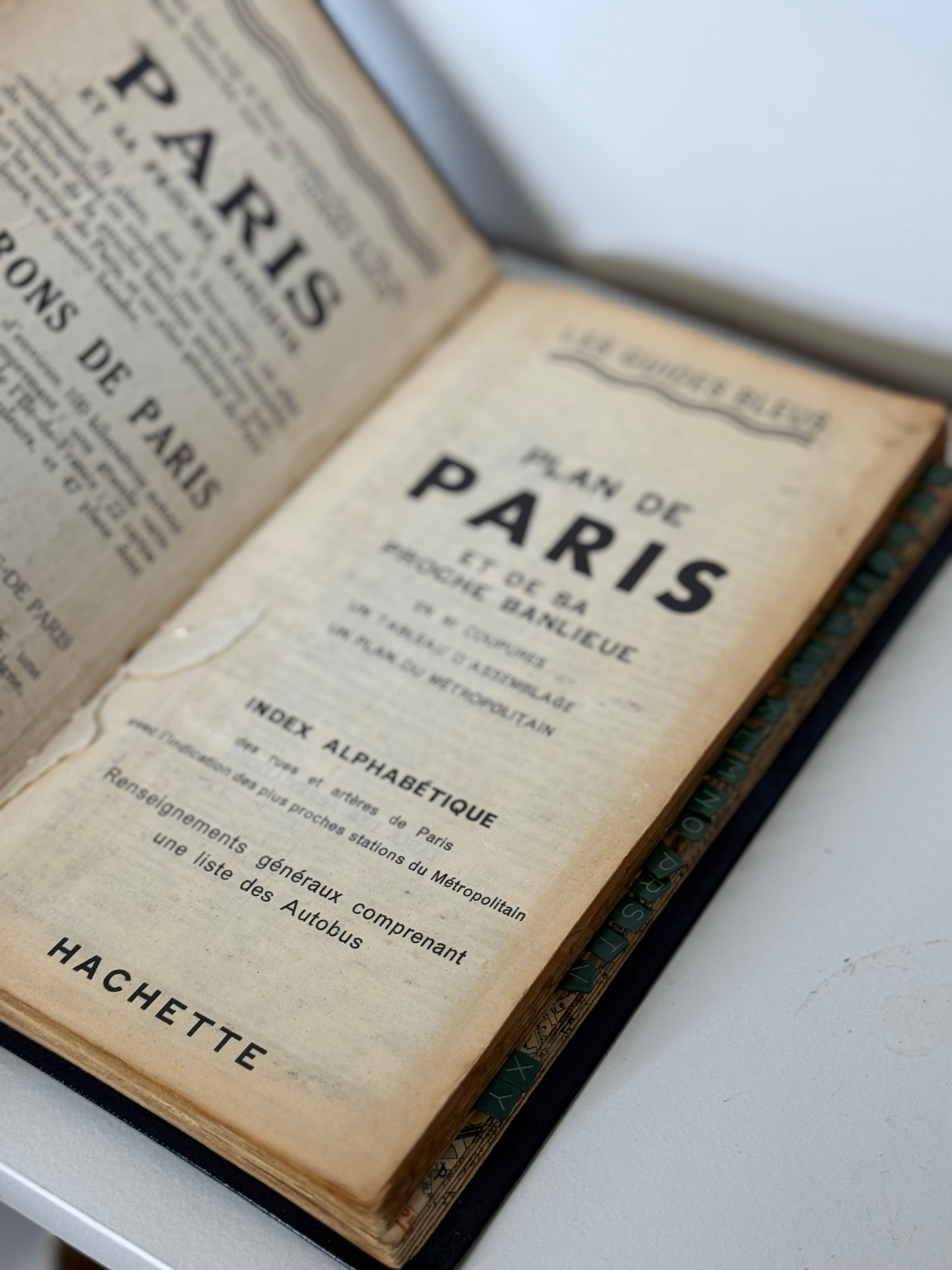
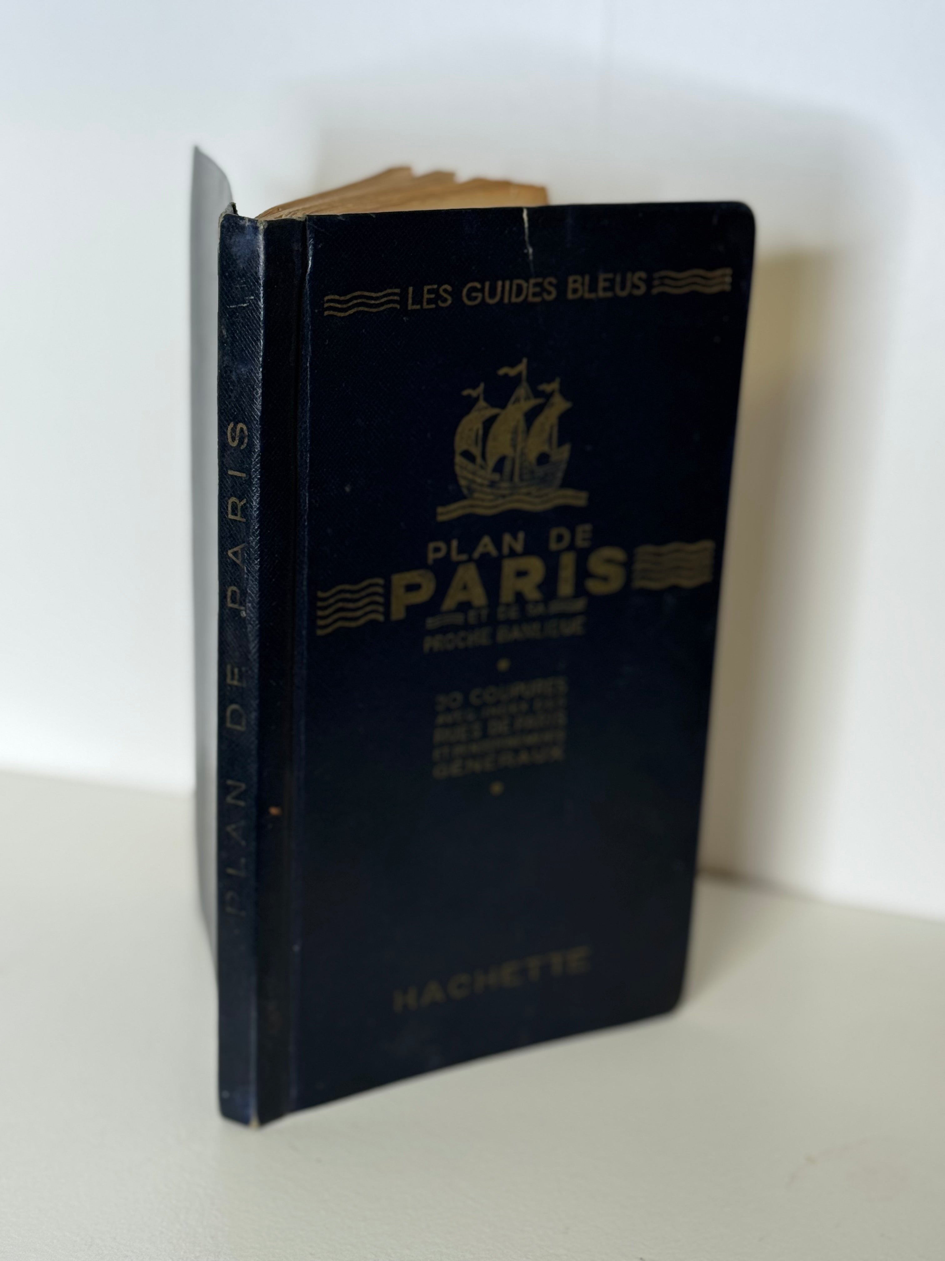
Plan de Paris et de sa Proche Banlieue published by Hachette as part of the renowned Les Guides Bleus series.
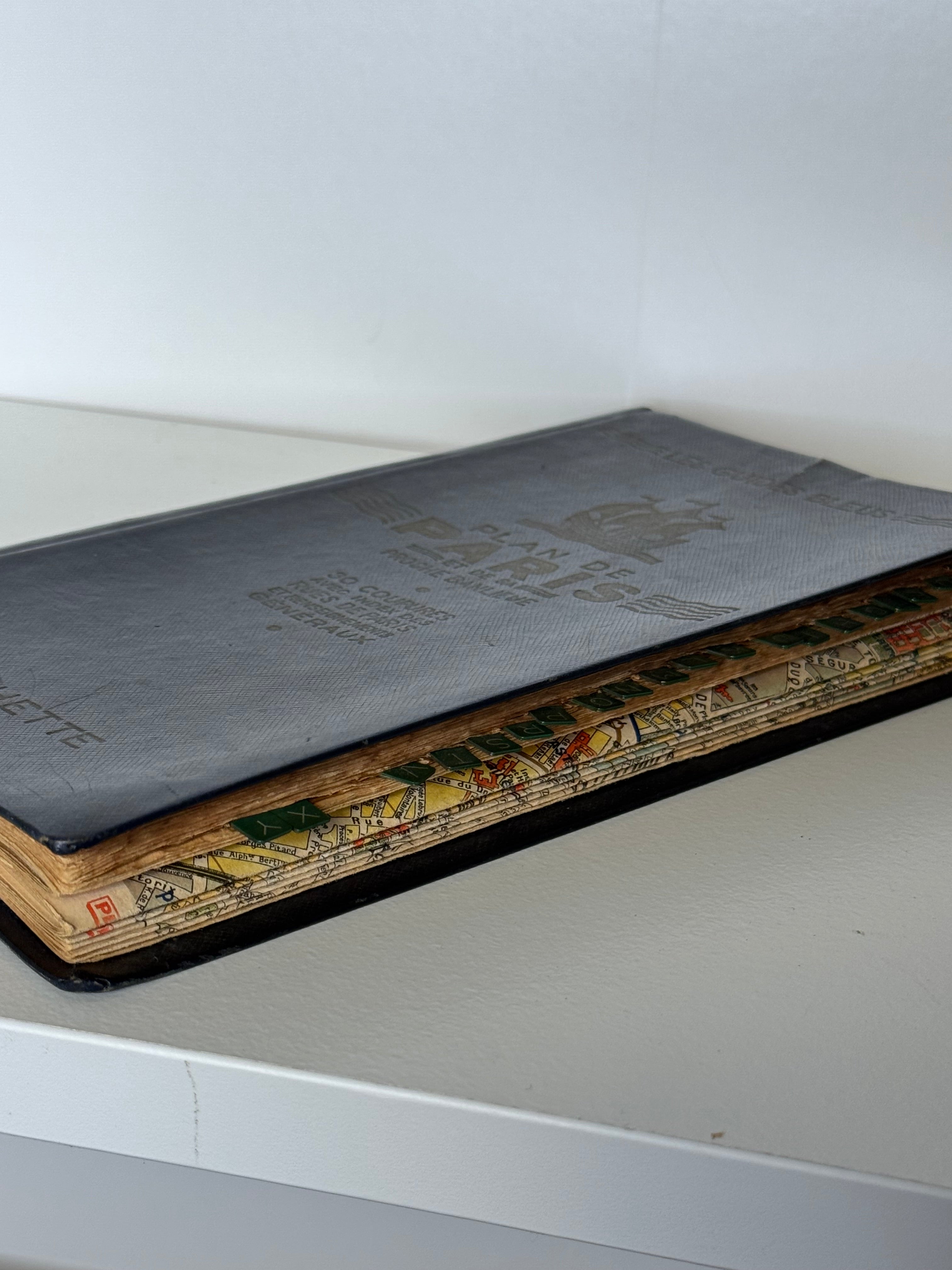
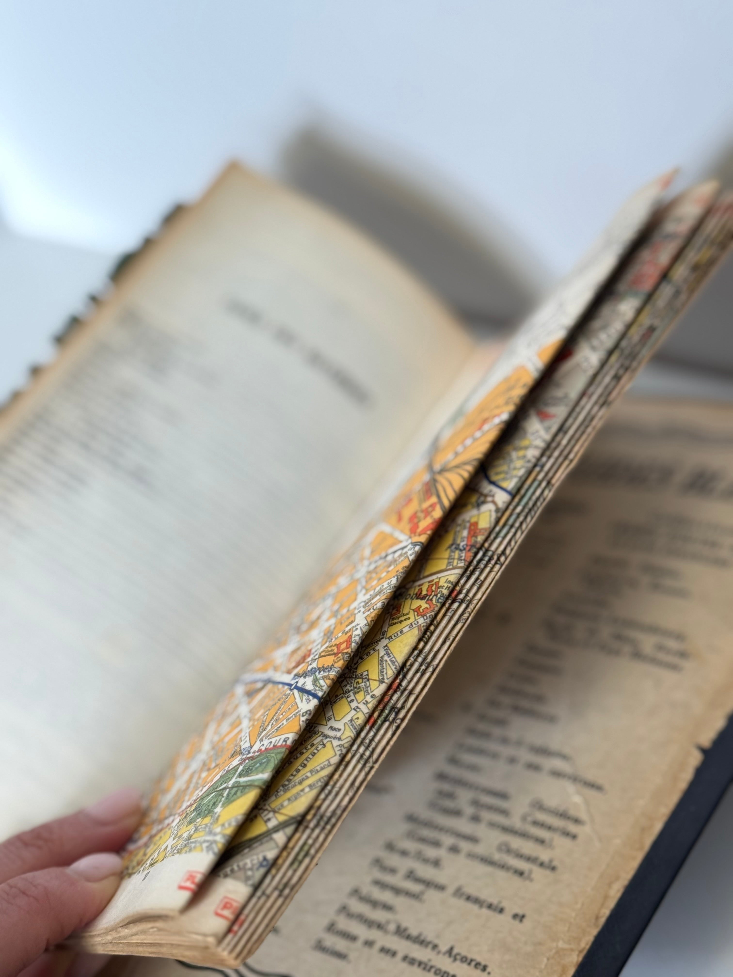
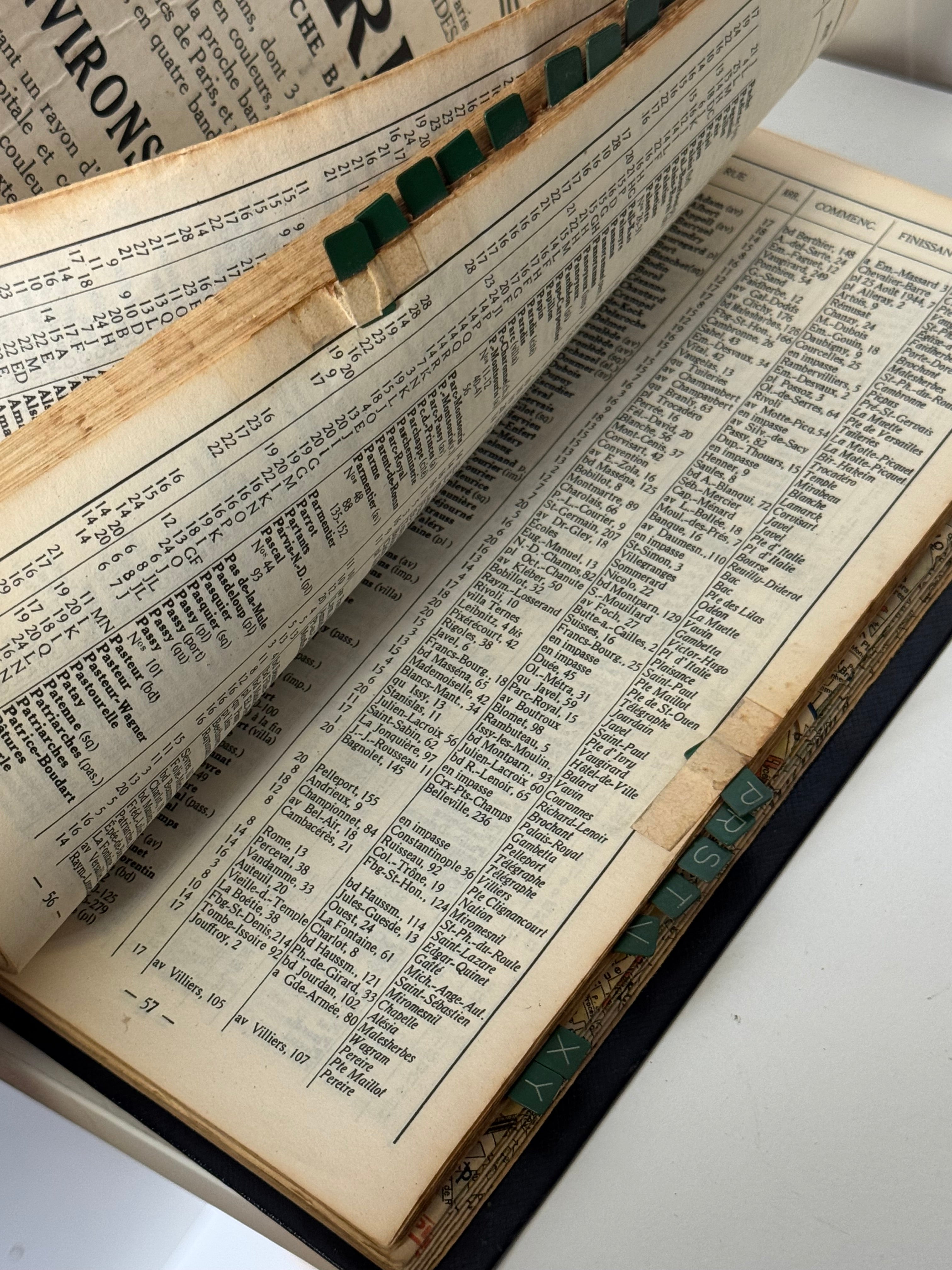
This compact city atlas unfolds to reveal thirty detailed color map plates of Paris and its nearby suburbs, each accompanied by an alphabetical street index and public transport information. A fascinating glimpse into mid-century Parisian geography and urban life, when paper maps guided both locals and travelers through the city.
Published in 1954 by Hachette as part of the Les Guides Bleus series. Dark blue textured coated cloth hardcover with gilt lettering and emblem of a sailing ship. Approximately 8 ¾” H × 5 ¼” W × ¼” D. French text. Good vintage condition with gentle wear consistent with age; some alphabetical tabs are missing, and one page is missing, but overall intact and charmingly aged.
Perfect styled open on a desk, console, or library shelf, its detailed color maps and gilt cover lend instant charm to a vignette. A wonderful piece for collectors of vintage travel guides or anyone captivated by the romance of old Paris.
The Guides Bleus series, first introduced by Hachette in the early 20th century, became a standard companion for French travelers. This Plan de Paris edition reflects a period when the city’s neighborhoods, metro expansion, and bus routes were carefully chronicled for explorers of every arrondissement—long before digital navigation took over.
Choose options